A rangefinder
It gives you an excellent number, once, and then forgets it. The number is only useful while you are still standing in the place you took it from.
 HuntFix

Sight it. Range it. Mark it. Find it.
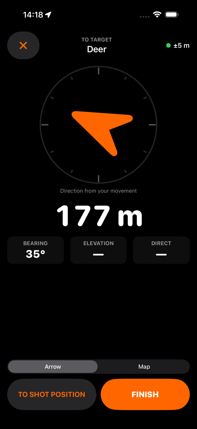
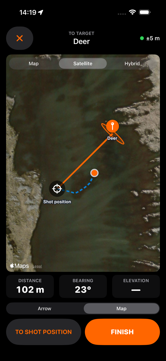
From your shooting position you can see exactly where the animal is. An hour later you are standing on that face, and every metre of it looks the same. HuntFix fixes the position while you can still see it, and navigates you back to that fixed point however long the walk takes.
iPhone. Works with the rangefinder you already own — any brand, you read the number and type it in. No account. No reception needed.
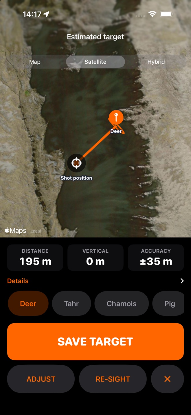
A bearing tells you which way. A range tells you how far. On its own, neither one gets you to the animal.
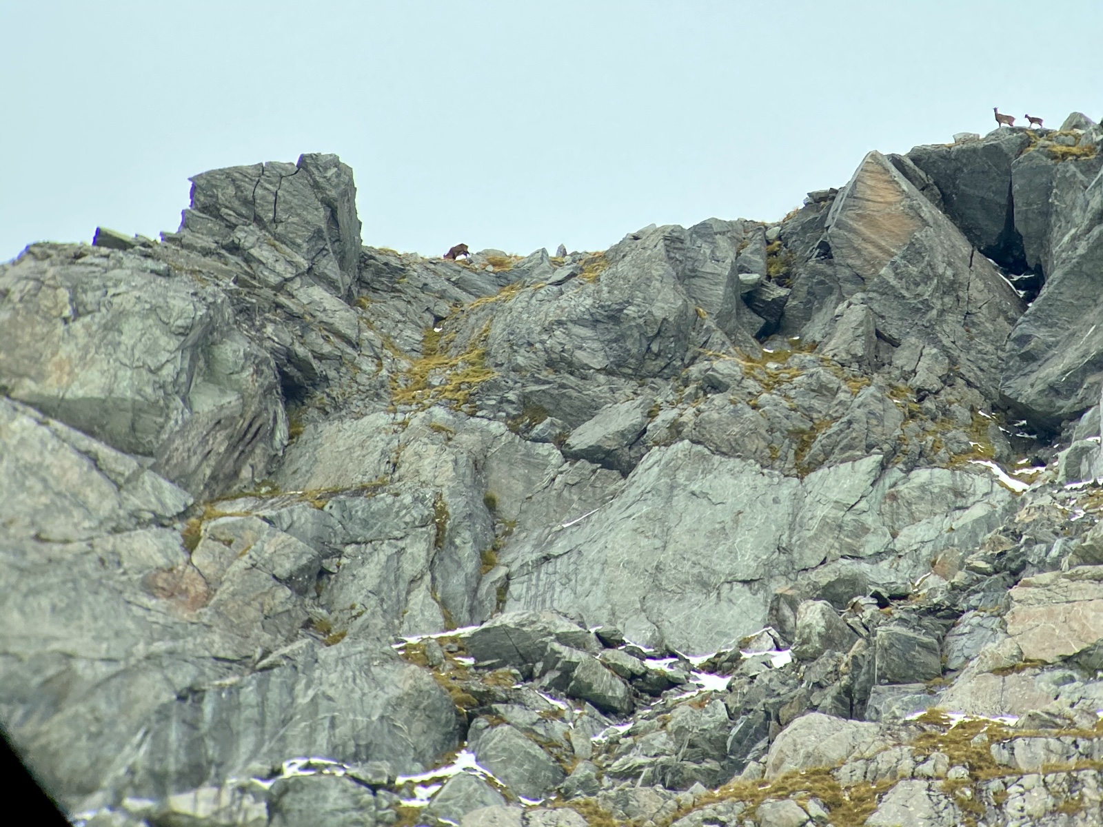
photos/originals/tahr-on-the-face.jpg
It gives you an excellent number, once, and then forgets it. The number is only useful while you are still standing in the place you took it from.
Garmin's Sight 'N Go and its equivalents walk you out along a line. A line is half the answer: it can put you on the right bearing and still leave you searching along it.
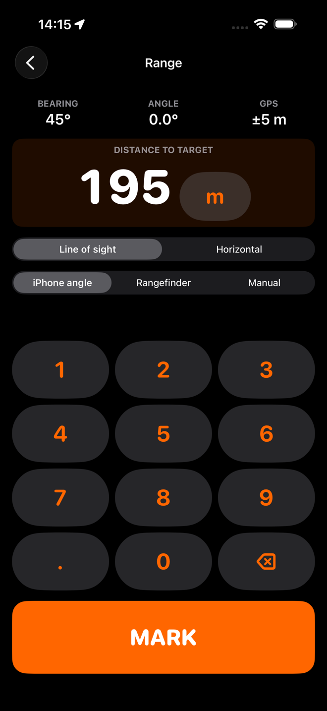
Your phone already knows where you are standing, which way it is pointed and at what angle. Add the one number your rangefinder gives you and the two become a point instead of a line.
Who built it
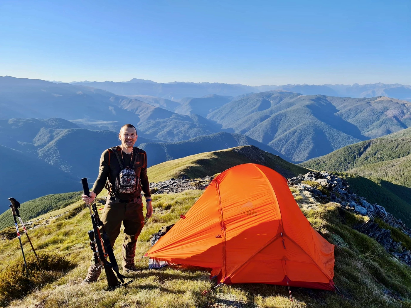
I am Scott. I am not a software company — I am a hunter who got tired of the search, and who writes software.
I live in the South Island, where red deer, fallow deer, Himalayan tahr, chamois, pigs and goats all run free on public land. Tops camps, bluffy faces, river flats and the long climb up the other side of a valley — that is the country HuntFix was designed around, because it is the country I hunt.
I built it for myself. Every decision in it is one I made as the person who would be standing on that face at four in the afternoon with the light going, and every one of them answers a problem I have actually had. It might be useful to you too.
photos/originals/who-built-it.jpg
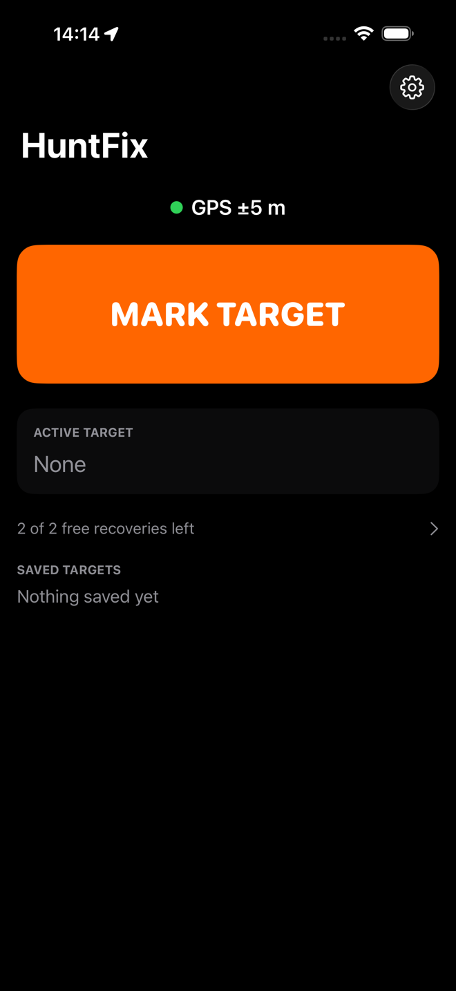
That is the whole app. Everything in it serves one workflow — Point → Lock → Range → Mark → Go — and nothing else is allowed to get in the way of it.
photos/originals/night-camp.jpg
One rule sits above every other in this app: never imply precision that was not measured. It is why the app looks the way it does.
HuntFix is not on the App Store yet. I have used it on my own hunts in the South Island and it has found animals for me — which is why it is becoming a product rather than staying on my phone.
What you will not find here is an accuracy figure. Every target the app makes tells you how uncertain it is, and that number is honest. But turning it worked for me into a published claim means measuring it against known positions, not counting the hunts that went well, and that work is still to do. Until it is, I would rather show you the method than a number.
Hunting spots are sensitive. HuntFix has no account, no sign-up and no server, and the app contains no networking code of its own.
Two free recoveries, then you buy it once. Hunters buy gear; they do not rent it.
NZ$29.99 once
One payment. No subscription.
Two full free recoveries first
What that buys is Fix and Find — sighting a target, marking it, and recovering it — for good, on your Apple Account, along with the improvements that come to it.
More features may be added over time, and some of them will have running costs behind them: premium topographic maps, terrain elevation data, cloud backup, sharing targets with your hunting party. I reserve the right to offer those on a subscription. Whatever you have already bought stays yours, and is never taken away.
No, and it will not pretend to. HuntFix does not track blood, it does not follow an animal that moved, and it cannot find something you never saw. What it can do is one step earlier: mark where the animal was standing when you shot, and mark the last place you saw it. Two fixed points on a map, marked while you can still see both, are a far better starting line for a search than a memory of a shape against a skyline — especially in open tussock and scrub, where there is often no blood trail to follow and no dog to follow it.
It is Sight 'N Go with the missing number added. Sight 'N Go locks a bearing and walks you out along it, which puts you on the right line and leaves you searching along it. HuntFix takes the bearing, the elevation angle and the range from your rangefinder and does a full waypoint projection — the direct geodetic problem, solved on the WGS84 ellipsoid — so you get a point instead of a line, with an elevation and an uncertainty attached to it.
No. HuntFix is deliberately brand-agnostic: you read the number off whatever optics you own — Swarovski, Leica, Zeiss, Vortex, SIG, Bushnell, Garmin, anything — and type it in. There is nothing to pair and nothing to buy.
No. Sighting, calculating, marking and navigating all run on the phone with no network at all. Only the map tiles come from Apple, and the app is built so a blank map changes nothing: the shot position, the target, the line and the uncertainty zone are drawn by HuntFix itself.
Not if you tell it. The range screen has a Line of sight / Horizontal switch, and a plain-language note about exactly this. Choose Horizontal when your rangefinder has already done the angle maths, and HuntFix will not do it again.
It has worked for me on my own hunts, which is why it exists as a product — but that is experience, not a measurement, and this site will not turn it into a number until one has been measured against known positions. What the app does do is tell you, target by target, how uncertain that target is, from the GPS accuracy, the compass confidence and how steadily you were holding the phone. When the measuring is done, the results will appear here.
No, and that is a rule rather than a preference. The only check in the whole app happens on the home screen before you start a new sighting. An animal already on the ground is never held to ransom: navigating to a target that already exists works forever, bought or not.
Nothing. Saved targets, photos, trails, the accuracy breakdown and the exports all stay available. The unlock buys the next recovery, never access to the last one.
Yes. The angle is simply zero and the maths reduces to the flat case. It was built for a valley because that is the hard version of the problem.
Nope — I am an iPhone guy. If you want the app, buy an iPhone. An Apple Watch face may follow.