
About
A hunter who got tired of the search
photos/originals/ridge-camp-wide.jpg
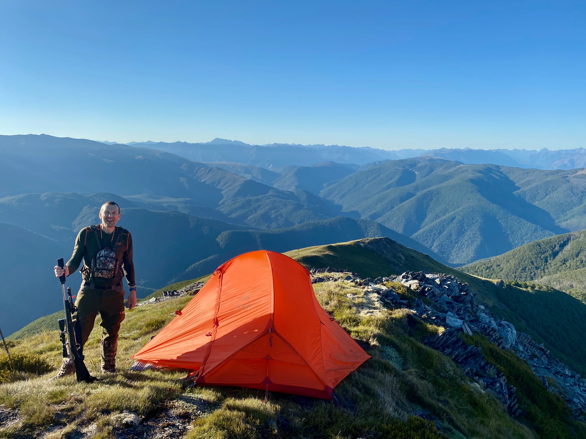
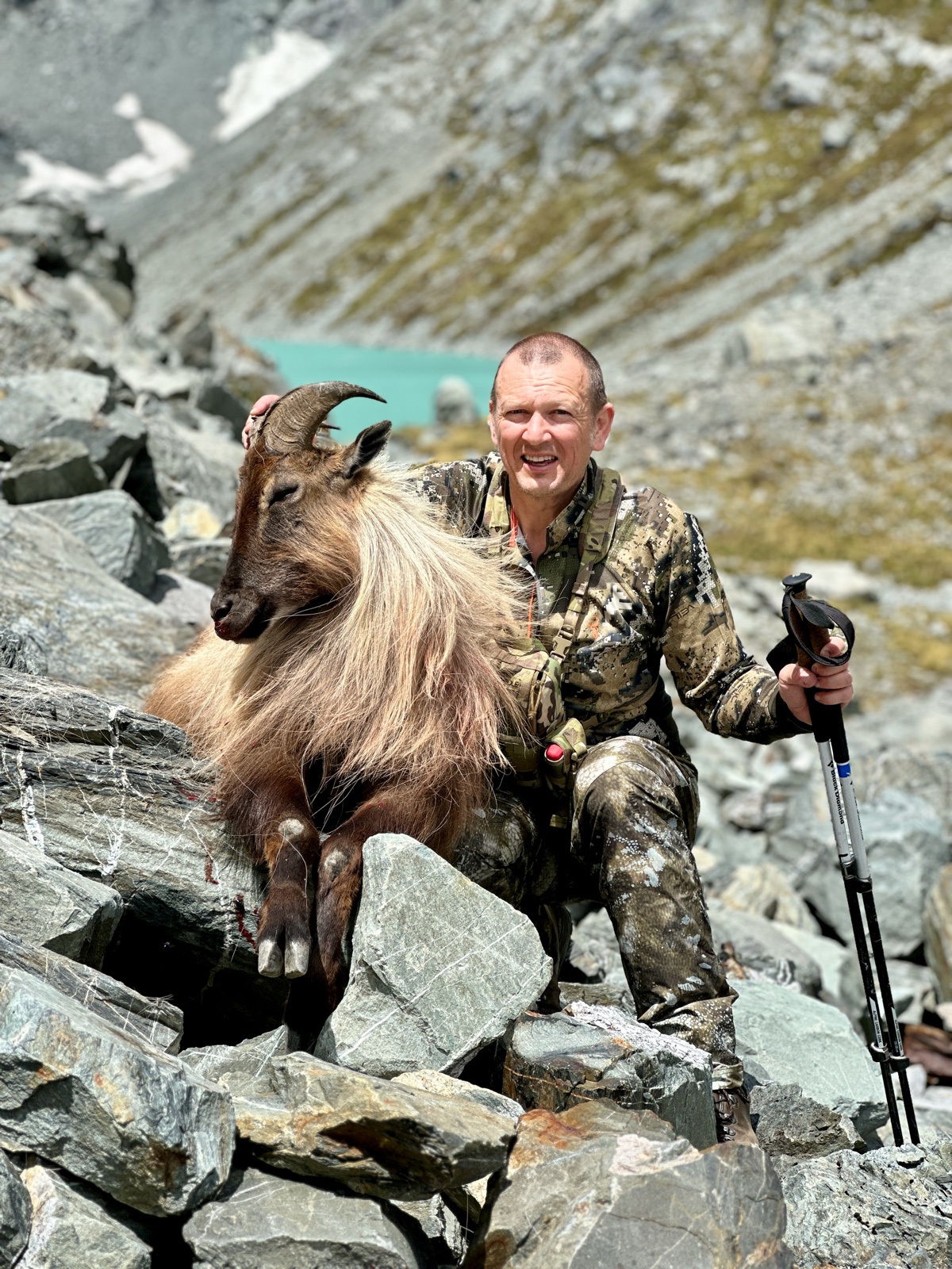
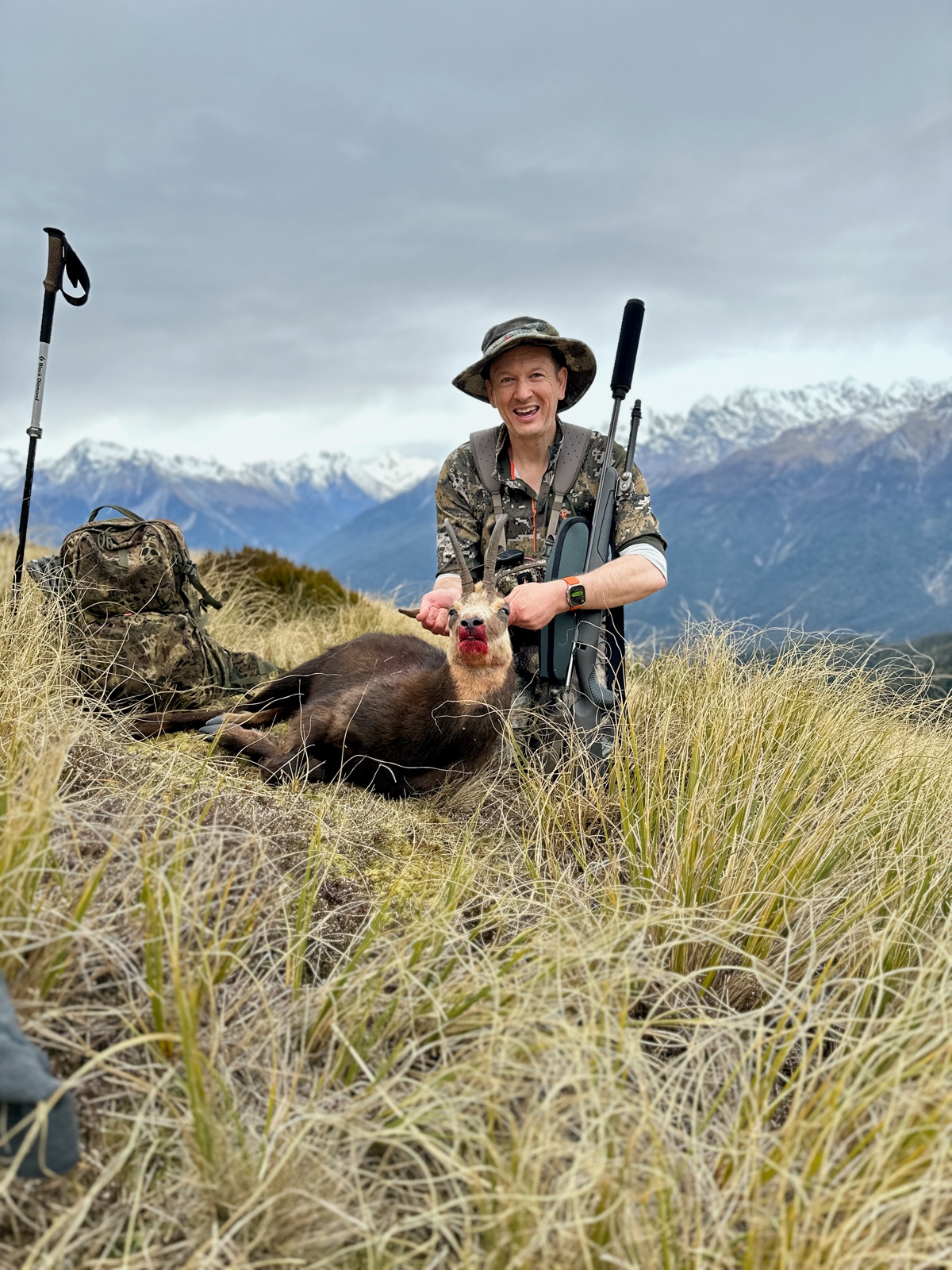
I have hunted since I was a boy, and I live in the South Island of New Zealand — a place where red deer, fallow deer, Himalayan tahr, chamois, pigs and goats all run free on public land, and where a day's hunting can put you on one side of a valley looking at an animal on the other.
The problem this app solves
You spot an animal on a distant ridge. You settle in, range it, take the shot, and the animal drops.
Then you stand up — and everything changes. You leave your shooting position, drop several hundred metres into the valley floor, cross the creek, and climb the far face. By the time you get up there, the ridge you were looking at across open air is a slope of tussock and scrub that all looks the same, and the spot you were so sure of is nowhere to be found. I have spent a long time on those faces, grid-searching country I could have pointed at an hour earlier.
It is worth being precise about why it happens, because it is not carelessness. From across a valley you are not seeing a place, you are seeing a picture. You fix the animal against everything around it — that scree fan, that patch of scrub, the bluff above and the creek below. All of that works beautifully from where you are standing. It is a bearing and an angle, and the moment you move, the whole picture rearranges itself. The scree fan is behind you. The bluff you were using is under your feet and cannot be seen. From below, a face that looked stepped and full of features is a uniform slope. You climb into it knowing you are close and having no way at all to say what close means.
And the clock is running the whole way. Light goes, weather comes in, and an animal you cannot find in the first hour is one you may not find at all. That is the cost this app exists to reduce. Not a convenience — a wasted animal is the thing every hunter I know actually dreads.
HuntFix fixes the position while you can still see it. Point the phone at the animal, lock the bearing and angle, type in the range your rangefinder gave you, and the app works out where that animal actually is — latitude, longitude and elevation — and holds it as a waypoint. Then it navigates you to it, however long the walk takes and whatever route the terrain forces on you.
photos/originals/with-an-animal.jpg
photos/originals/chamois.jpg
Where the idea came from
Years ago I carried a Garmin handheld with a feature called Sight 'N Go. You pointed the unit at something in the distance, locked the bearing, and it would walk you out along that line. It was a good idea and I used it a lot.
But a bearing on its own is only half the answer. It tells you which way, never how far — so it can put you on the right line and still leave you searching along it. Down in the valley the line is fine. Coming up the far side you are on the correct bearing with two hundred metres of face above you and two hundred below, and no way of knowing which part of it to look at.
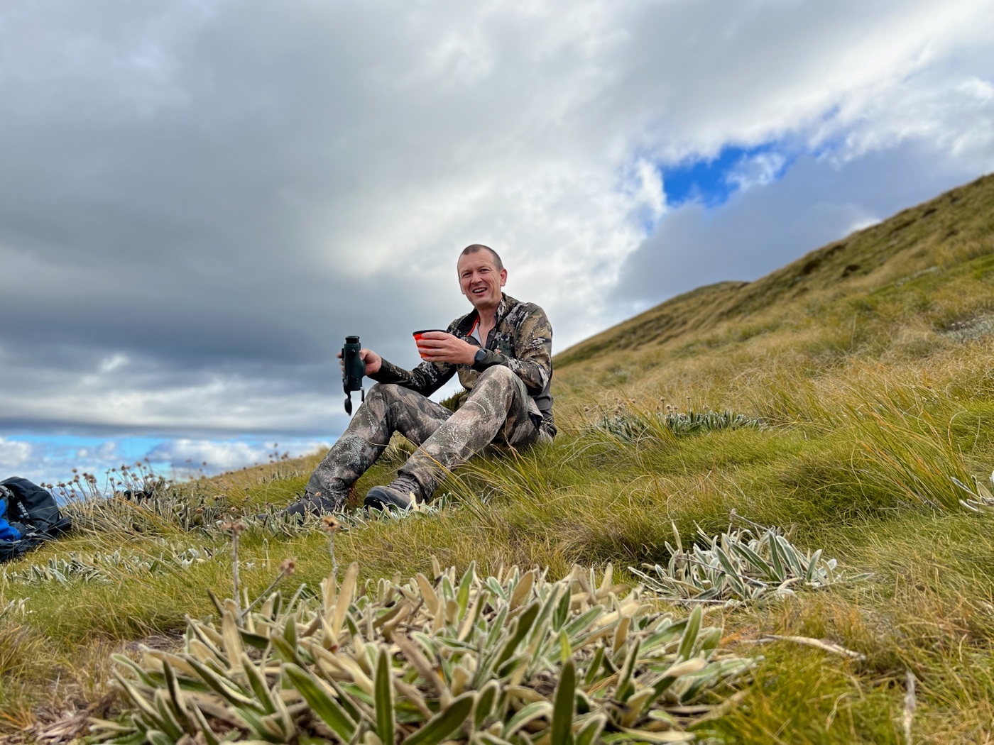
Meanwhile the rangefinder in my other hand had been telling me the missing number the entire time. It just had nowhere to put it. You take the reading, you note that it said four hundred and eighty-seven metres, and then you walk away and the number stops meaning anything, because it was only ever true from the spot you were standing in.
I do not carry a GPS any more. Times have changed and my iPhone is my navigation tool now — and it is a better instrument for this than the handheld ever was. It knows where I am standing. It knows which way it is pointing and at what angle, in three dimensions, well enough to hold that reading steady to a fraction of a degree. It has a camera, so I can see what I am aiming it at instead of squinting along a plastic case. Add the one number my rangefinder gives me, and it can put a pin on the animal instead of a line towards it.
photos/originals/glassing.jpg
Why it is built the way it is
One rule sits above every other in this app: never imply precision that was not measured.
A GPS fix has error in it. A compass has more. Every target HuntFix creates therefore carries its own uncertainty, and the app shows you the size of the area you should expect to search rather than a false pinpoint. If the phone does not know a value — an elevation it could not read, a bearing the compass could not trust — it shows a dash and says so. It will never quietly show you a zero and let you believe it was a measurement.
That sounds like modesty and it is not. It is the difference between the app being useful and being dangerous. A hunter told "the animal is here" will search a circle three metres across, find nothing, and conclude the app is broken. A hunter told "the animal is somewhere in this ellipse, and it is wider across your line of sight than along it" will search the right shape of ground and find it. The uncertainty is not a disclaimer. It is the instruction.
The same thinking produced the rest of the design. Nothing may interrupt a live recovery — no dialog, no prompt, no price, nothing that waits on a network — from the moment you press MARK TARGET until you are standing over the animal. The compass and the numbers are the primary display, and the map is allowed to be blank, because reception in a New Zealand valley is a coin toss and an app that stops working without it is not a field tool. And what was measured is never edited: if you drag the pin somewhere else, the app stores your decision beside the calculation instead of on top of it, so the record always shows both.
Everything stays on your phone
There is no account, no upload and no tracking. Your targets, your photographs and your positions are yours.
That is not a feature I added for a privacy page. Where you hunt is genuinely sensitive information — it is the thing hunters are most careful about telling each other, let alone a company. So the app does not have a server to send it to. It contains no networking code at all. The only thing that has ever left my own phone is a test file I deliberately shared with myself.
photos/originals/mac.jpg
About me
I am Scott. I am not a software company — I am a hunter who got tired of the search, and who writes software.
I built HuntFix for myself. Not as a product first — as the tool I wanted in my own pocket, for a problem I have had more times than I care to count. Every decision in it is one I made as the person who would be standing on that face with the light going, and it is shaped by the animals I could not find.
It has been useful to me. It has helped me find my own downed animals, which is exactly what I built it to do.
It is on the App Store rather than only on my phone for one reason: if it is useful to me, it might be useful to you too.
What you will not find here is an accuracy figure. The maths has been tested hard, on paper and in code, against published survey baselines, and the app has done its job for me on real hunts. But turning it worked for me into a number means walking out to a known position on a real face and measuring how far the estimate was wrong, and that is still to do. When it is done the numbers will go here, whether they flatter the app or not. Until then the app tells you how uncertain each target is and I will not put a number on top of that. That is the only version of this worth putting my name on.
If it saves you a walk you did not need to make, it has done its job.
The short version
Position + bearing + angle + range = target. Everything else in HuntFix exists to serve that one calculation, or to tell you honestly how much to trust it.